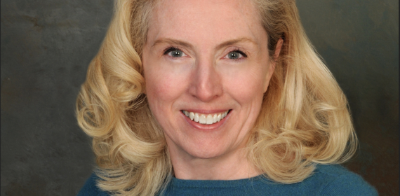
In Dialogue with Prof. Amy O'Hara
Amy O’Hara is a Research Professor in the Massive Data Institute and Executive Director of the Federal Statistical Research Data Center at the McCourt School for Public Policy. She is currently a guest editor of a journal edition hosted by the U.S. Department of Housing and Urban Development (HUD). Prior to joining Georgetown, she was a senior executive in the U.S. Census Bureau where she founded their administrative data curation and research unit.
Sooin Choi is a Georgetown Global Cities Initiative Student Scholar and Research Assistant. She is also pursuing a graduate degree in Urban and Regional Planning.
Sooin Choi: Thank you for joining us! Can you tell us about your work at Massive Data Institute and your involvement with Cityscape?
Amy O'Hara: Sure! I am a research professor, and I work on a number of different research grants. I’m doing projects that look at how you can get access to data and use it to improve the economy, society, and community. That work fits into buckets like data governance, data access, linkage, and data privacy. One of the projects that I have is funded by the Robert Wood Johnson Foundation, and it looks at the types of data you would need to create place-based indicators.
HUD publishes a journal called Cityscape three times a year. That journal would be a great place to have people that use administrative data share what's going on in housing, whether that’s zoning or evictions. I approached them about editing a special issue for the journal to show the value of administrative data and have a call to action about ways that we could improve access to data that currently are being used.
SC: What are examples of some areas where there is a lot of data, but it’s not organized in a useful way for us to make a meaningful analysis? And what are examples of issues where there is not enough data to inform policy?
AO: It's a nuanced answer. There are departments like HUD that put out a lot of great data. But they are putting it out at the county level, so that's often not granular enough to understand what's going on within the county. There are statistical methods where you might take county level data and make it into smaller geographies. But you need to have additional data like data from the Census Bureau. So are people getting the data they need? Is it possible to release more granular data? Or would that be disclosing too much information and be considered a privacy risk for the people in the data?
SC: I think geographic data is really tricky. It is possible to find people's addresses fairly easily based on race, income, and other personally identifiable information.
AO: So the other areas of research that we're doing right now focuses on privacy. There are models where a trusted third party or intermediary often helps bridge the gap between users and data owners. But then you have vulnerability because someone else has the data. The projects we're working on explore how to use tools like encryption in privacy enhancing technologies (PET). That to me is the next step in data privacy. By getting people to say, “I am curious about a question that I can't answer on my own, I need to share and link my data,” while minimizing the privacy risk to answer their question.
SC: Can you share how your work intersects with urban planning?
AO: A project that we have been working on that ties into urban studies is the development of the Civil Justice Data Commons. It’s a project that Massive Data Institute has been doing with the Law Center. We have been trying to get eviction records at a case level that people can request access to. You have to use them in our free computing platform; you cannot download them. We have been trying to improve data access and privacy protection, so that people can study evictions in urban and rural areas.
SC: How do you work with students at Georgetown? Tell us about the Green Space Challenge for Georgetown students that you recently organized!
AO: I love working with students. There is a program run out of Massive Data called MDI Scholars which is an opportunity to work with MDI faculty and affiliated faculty on projects like the Place-Based Indicators. We have a fellow right now working on that project.
The Green Space Challenge was also for our Place-Based Indicators project. There's so much data out there, and people just often aren't aware of it or are never kind of provoked to use it. For the Green Space Data challenge, we found a couple of open data sets that are just sitting out on the web, and we invited people to come and interrogate these data sets. We challenge you to answer questions about public safety, public health, environmental issues or specific populations. So we threw down that challenge, and there were judges that are experts, all having used green space data in their respective ways. Two were Federal employees, and two were academics. We ended up having a great response to that, and we’ll have another one next year. Stay tuned!
SC: So what’s next for you?
AO: So I think of our team as a translator between lawyers and administrators. It's kind of nerdy, but we love it. Being an intermediary is a lot of work, particularly in urban areas where you have highly sensitive data like foster care data, juvenile justice data, and mental health data. A lot of times people are not using this data to ask or answer questions. How can you use technology to de-risk the use of that data? That is where our team wants to be.

